


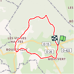

16.8 km | 23 km-effort

User


FREE GPS app for hiking
 SityTrail
IGN / Geographical institutes
SityTrail World
The world is yours!
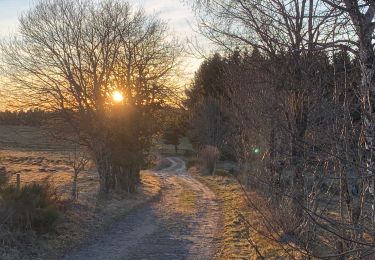
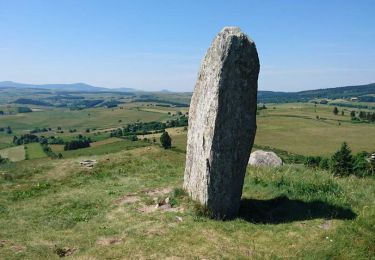
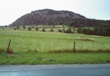
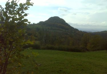
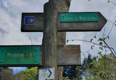
Trail Walking of 7.4 km to be discovered at Auvergne-Rhône-Alpes, Haute-Loire, Champclause. This trail is proposed by mallovon.
Jolie balade bien balisée, paysages variés. Belle Eglise à Boussoulet.


Mountain bike
Walking
Walking
Walking
Walking
Walking
Walking
Walking
Walking