


Le tour et le sommet du Puy-de-Dôme

Gegetop
User
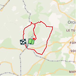


3h58
Difficulty : Medium

FREE GPS app for hiking
 SityTrail
IGN / Geographical institutes
SityTrail Plus
The world is yours!
About
Trail Nordic walking of 14.9 km to be discovered at Auvergne-Rhône-Alpes, Puy-de-Dôme, Orcines. This trail is proposed by Gegetop.
Description
L'ascension et la redescente se fait par le sentier des chèvres.
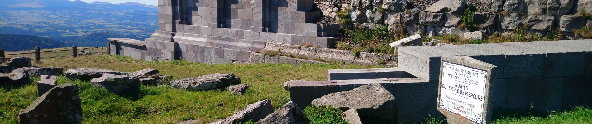
Cette randonnée vous permettra de découvrir le panorama grandiose de la chaîne des Puys ainsi que le Temple de Mercure en pleine reconstitution.
Photos


Positioning
Comments