


Saint Adjutoy 16 110 avec un départ du Maine Cruvier

alainjoseph6
User
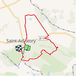

Length
7.9 km

Max alt
234 m

Uphill gradient
160 m
Km-Effort
10.1 km

Min alt
158 m

Downhill gradient
161 m
Boucle
Yes
Creation date :
2019-09-26 11:58:22.091
Updated on :
2019-10-02 16:29:59.718
2h42
Difficulty : Easy

FREE GPS app for hiking
 SityTrail
IGN / Geographical institutes
SityTrail Plus
The world is yours!
About
Trail Walking of 7.9 km to be discovered at New Aquitaine, Charente, Saint-Adjutory. This trail is proposed by alainjoseph6.
Description
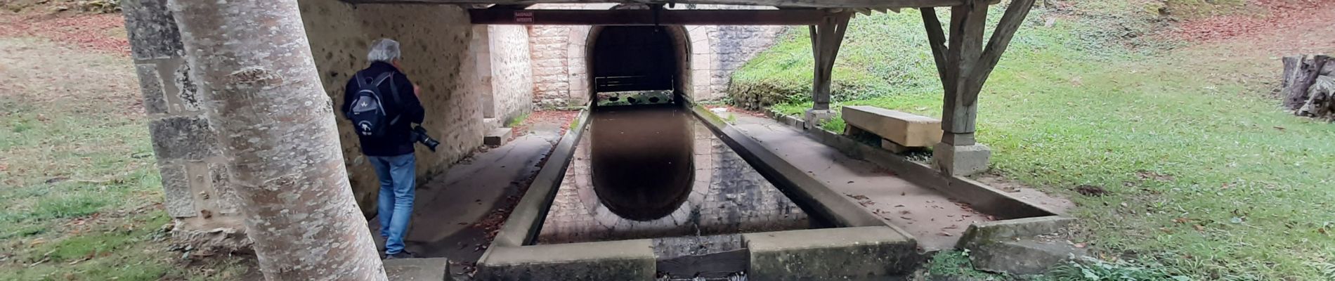
Superbe balade, de très bons points de vue avec la découverte du sentier de la Bellonne.
Photos


Positioning
Country:
France
Region :
New Aquitaine
Department/Province :
Charente
Municipality :
Saint-Adjutory
Location:
Unknown
Start:(Dec)
Start:(UTM)
303597 ; 5070465 (31T) N.
Comments