Trail Walking Cologne - Cologne fait - Photo

Cologne fait

 pidjam
pidjam

User

© OpenStreetMap contributors
Length
Length
15.8 km
Max alt
Max alt
215 m
Uphill gradient
Uphill gradient
315 m
Km-Effort
Km-Effort  
20 km
Min alt
Min alt
143 m
Downhill gradient
Downhill gradient
317 m
Boucle
Boucle
Yes
Creation date :
2019-09-29 07:16:22.891
Updated on :
2019-10-08 11:09:23.447

(0 Reviews)

Walking
Walking
3h57
Difficulty : Easy

Scan this QR Code to open this trail in the SityTrail application

FREE GPS app for hiking

Logo SityTrail SityTrail

IGN / Geographical institutes

Download SityTrail from the App Store Download SityTrail from Google Play

Logo SityTrail SityTrail World

The world is yours!

Download SityTrail from the App Store Download SityTrail from Google Play Download SityTrail on Huawei AppGallery

About

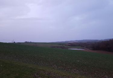
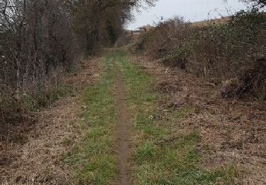
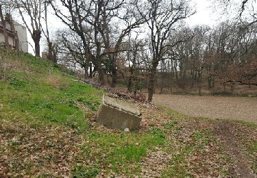
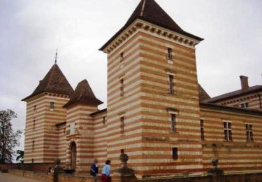
Trail Walking of 15.8 km to be discovered at Occitania, Gers, Cologne. This trail is proposed by pidjam.

Description

Rando à Cologne avec pique-nique à St Cricq (tables)

Elevation profile

Positioning

Country:
France
Region :
Occitania
Department/Province :
Gers
Municipality :
Cologne
Location:
Unknown
Start:(UTM)
337092 ; 4842977 (31T) N.

Trails nearby

Trail Walking Cologne - Cologne  / Thoux / Saint-Cri - Photo
Walking
phb32220

Walking

Medium
(3)
Cologne, Occitania, Gers, France
14.5 km | 18.6 km-effort
2h 47min
Yes
Trail Mountain bike Encausse - La Colognaise 2017 fin  boucle 2 - Photo
Mountain bike
cbouttes

Mountain bike

Difficult
Encausse, Occitania, Gers, France
3.3 km | 3.9 km-effort
25min
No
Trail Mountain bike Cologne - La Colognaise 2017 boucle 2 partie 1-2 - Photo
Mountain bike
cbouttes

Mountain bike

Difficult
Cologne, Occitania, Gers, France
12.1 km | 15.3 km-effort
2h 34min
No
Trail Mountain bike Cologne - La Colognaise boucle 1 - Photo
Mountain bike
cbouttes

Mountain bike

Medium
Cologne, Occitania, Gers, France
11.6 km | 14.4 km-effort
2h 12min
No
Trail Mountain bike Cologne - La Caminadiéra Cologne - Photo
Mountain bike
cbouttes

Mountain bike

Medium
Cologne, Occitania, Gers, France
34 km | 42 km-effort
3h 15min
No
Trail Walking Laréole - Chemin de Laréole - Photo
Walking
tracegps

Walking

Medium
Laréole, Occitania, Haute-Garonne, France
9.5 km | 11.6 km-effort
3h 10min
Yes
Trail Mountain bike Cologne - Cologne Challenge de Lomagne 2012 - Photo
Mountain bike
cbouttes

Mountain bike

Medium
Cologne, Occitania, Gers, France
30 km | 36 km-effort
2h 22min
No
Trail Walking Encausse - Encausse par le lac-16884116 - Photo
Walking
pidjam

Walking

Difficult
Encausse, Occitania, Gers, France
12.2 km | 14.7 km-effort
3h 20min
Yes
Trail Walking Laréole - Laréole - Photo
Walking
Fafou64

Walking

Laréole, Occitania, Haute-Garonne, France
10 km | 12.3 km-effort
2h 16min
Yes


Close
My subscriptions