Trail Walking Valouse - 2019-09-29 16:27:25 - Photo
 thonyc
thonyc

User GUIDE

© OpenStreetMap contributors
Length
Length
11.3 km
Max alt
Max alt
1443 m
Uphill gradient
Uphill gradient
811 m
Km-Effort
Km-Effort  
22 km
Min alt
Min alt
710 m
Downhill gradient
Downhill gradient
811 m
Boucle
Boucle
Yes
Creation date :
2019-09-29 16:54:36.778
Updated on :
2019-10-17 06:35:00.016

(0 Reviews)

Walking
Walking
4h25
Difficulty : Difficult

Scan this QR Code to open this trail in the SityTrail application

FREE GPS app for hiking

Logo SityTrail SityTrail

IGN / Geographical institutes

Download SityTrail from the App Store Download SityTrail from Google Play

Logo SityTrail SityTrail Plus

The world is yours!

Download SityTrail from the App Store Download SityTrail from Google Play Download SityTrail on Huawei AppGallery

About

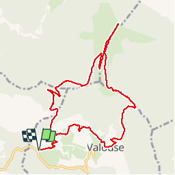
Trail Walking of 11.3 km to be discovered at Auvergne-Rhône-Alpes, Drôme, Valouse. This trail is proposed by thonyc.

Description

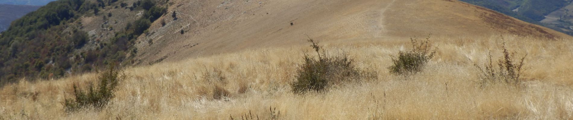
Très belle rando avec des vues aériennes splendides sur les Baronnies
Faire cette rando dans le sens anti-horaire car montée raide dans le bois sur 800m pouvant être glissante dans le sens de la descente.

Elevation profile

Photos

Positioning

Country:
France
Region :
Auvergne-Rhône-Alpes
Department/Province :
Drôme
Municipality :
Valouse
Location:
Unknown
Start:(UTM)
673124 ; 4925489 (31T) N.


Close
My subscriptions