


Pyrénées jour 3

dudu85
User
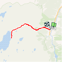

Length
9.7 km

Max alt
2288 m

Uphill gradient
894 m
Km-Effort
22 km

Min alt
1400 m

Downhill gradient
896 m
Boucle
Yes
Creation date :
2019-10-03 07:02:24.0
Updated on :
2019-10-03 15:21:52.65
5h41
Difficulty : Unknown

FREE GPS app for hiking
 SityTrail
IGN / Geographical institutes
SityTrail Plus
The world is yours!
About
Trail Walking of 9.7 km to be discovered at Occitania, Hautespyrenees, Arrens-Marsous. This trail is proposed by dudu85.
Description
Départ de plaa d’Aste et montée au refuge de migouélou (2278m) et retour au plaa d’Aste.
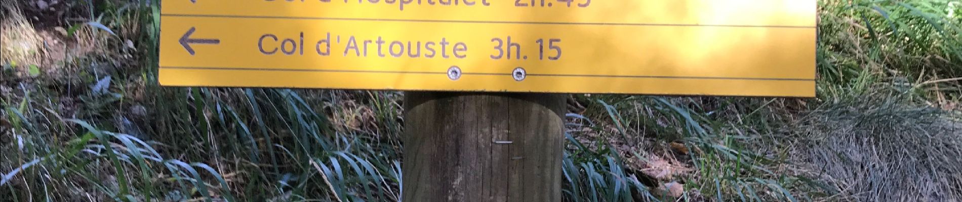
Photos


Positioning
Country:
France
Region :
Occitania
Department/Province :
Hautespyrenees
Municipality :
Arrens-Marsous
Location:
Unknown
Start:(Dec)
Start:(UTM)
722814 ; 4752187 (30T) N.
Comments