


Le Vicdessos par Illié

c.chehere
User
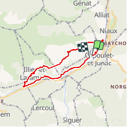

Length
14.3 km

Max alt
1102 m

Uphill gradient
718 m
Km-Effort
24 km

Min alt
573 m

Downhill gradient
717 m
Boucle
Yes
Creation date :
2019-10-04 06:49:42.473
Updated on :
2019-10-04 14:03:03.71
5h52
Difficulty : Medium

FREE GPS app for hiking
 SityTrail
IGN / Geographical institutes
SityTrail Plus
The world is yours!
About
Trail Walking of 14.3 km to be discovered at Occitania, Ariège, Capoulet-et-Junac. This trail is proposed by c.chehere.
Description
Départ depuis le cimetière de Junac.
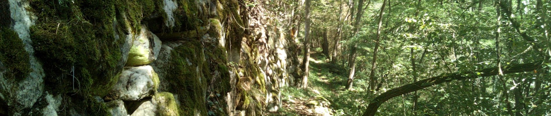
Belles vues sur le vicdessos et les trois seigneurs depuis le sentier en balcon.
Redescente sur la vallée par un bon sentier bien tracé
Photos


Positioning
Country:
France
Region :
Occitania
Department/Province :
Ariège
Municipality :
Capoulet-et-Junac
Location:
Unknown
Start:(Dec)
Start:(UTM)
383848 ; 4739149 (31T) N.
Comments