


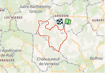

10.1 km | 14.9 km-effort


User


FREE GPS app for hiking
 SityTrail
IGN / Geographical institutes
SityTrail World
The world is yours!
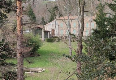
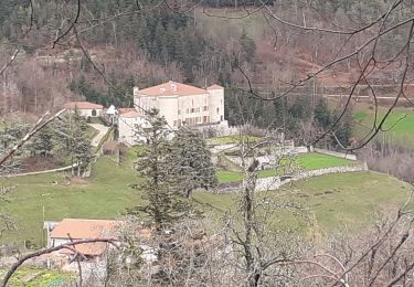
Trail Walking of 12.2 km to be discovered at Auvergne-Rhône-Alpes, Ardèche, Saint-Barthélemy-Grozon. This trail is proposed by pol7.
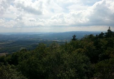
Rando à travers chataigniers
Walking

Walking
Walking
Walking
Walking
Walking
Walking

Horseback riding
Motor