


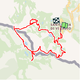


4.4 km | 7.1 km-effort

User


FREE GPS app for hiking
 SityTrail
IGN / Geographical institutes
SityTrail World
The world is yours!
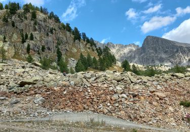
Trail Walking of 13.1 km to be discovered at Piemont, Cuneo, Vinadio. This trail is proposed by GILOU440.
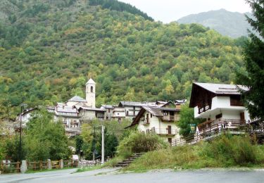
départ du sanctuaire de saint anne et de vinadio.
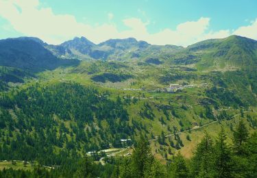
la durée est moindre car nous avons beaucoup flâner.
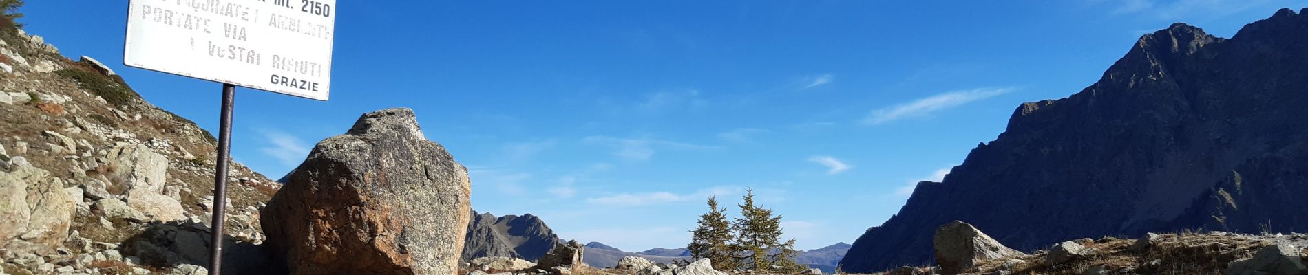
rando donnée pour 3h30


41 photos in total. Please click on a photo to see them all in the gallery.

Walking

Other activity
On foot

Snowshoes

Walking
Walking

Snowshoes

Walking