


letrat2

Coux
User
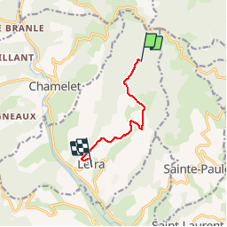

Length
6 km

Max alt
665 m

Uphill gradient
62 m
Km-Effort
7.9 km

Min alt
335 m

Downhill gradient
383 m
Boucle
No
Creation date :
2019-10-06 11:27:00.372
Updated on :
2019-10-06 13:12:18.273
1h43
Difficulty : Easy

FREE GPS app for hiking
 SityTrail
IGN / Geographical institutes
SityTrail Plus
The world is yours!
About
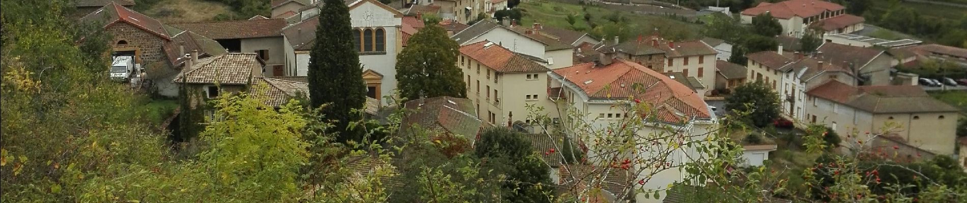
Trail Walking of 6 km to be discovered at Auvergne-Rhône-Alpes, Rhône, Létra. This trail is proposed by Coux.
Photos

Positioning
Country:
France
Region :
Auvergne-Rhône-Alpes
Department/Province :
Rhône
Municipality :
Létra
Location:
Unknown
Start:(Dec)
Start:(UTM)
619567 ; 5094071 (31T) N.
Comments