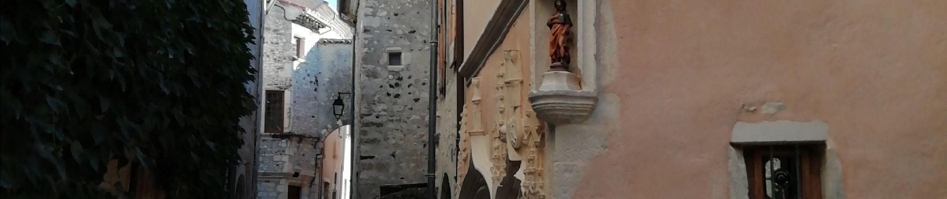
Rochemaure Retour vers le passé

thonyc
User GUIDE


Length
8.5 km

Max alt
388 m

Uphill gradient
355 m
Km-Effort
13.2 km

Min alt
77 m

Downhill gradient
354 m
Boucle
Yes
Creation date :
2019-10-11 07:24:08.805
Updated on :
2019-10-16 16:24:03.145
4h30
Difficulty : Easy

FREE GPS app for hiking
 SityTrail
IGN / Geographical institutes
SityTrail Plus
The world is yours!
About
Trail Walking of 8.5 km to be discovered at Auvergne-Rhône-Alpes, Ardèche, Rochemaure. This trail is proposed by thonyc.
Photos


Positioning
Country:
France
Region :
Auvergne-Rhône-Alpes
Department/Province :
Ardèche
Municipality :
Rochemaure
Location:
Unknown
Start:(Dec)
Start:(UTM)
635416 ; 4938774 (31T) N.
Comments