


tautavel

fournieralain
User
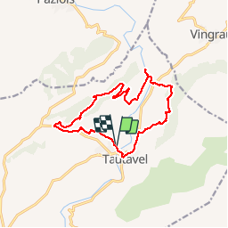

Length
14.6 km

Max alt
258 m

Uphill gradient
359 m
Km-Effort
19.4 km

Min alt
95 m

Downhill gradient
358 m
Boucle
Yes
Creation date :
2019-10-11 06:56:48.563
Updated on :
2019-10-11 15:03:51.865
8h05
Difficulty : Very easy

FREE GPS app for hiking
 SityTrail
IGN / Geographical institutes
SityTrail Plus
The world is yours!
About
Trail Walking of 14.6 km to be discovered at Occitania, Pyrénées-Orientales, Tautavel. This trail is proposed by fournieralain.
Description
belle randonnée.
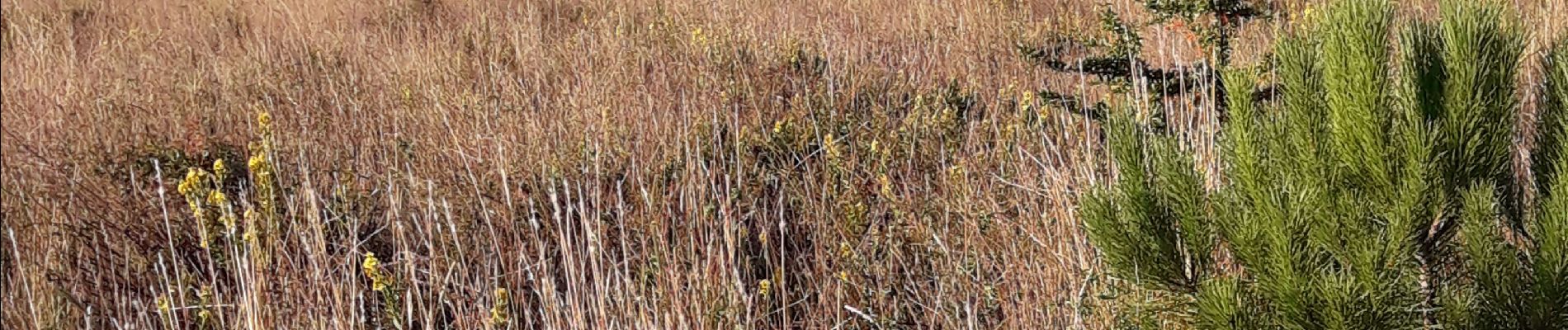
Photos


Positioning
Country:
France
Region :
Occitania
Department/Province :
Pyrénées-Orientales
Municipality :
Tautavel
Location:
Unknown
Start:(Dec)
Start:(UTM)
478948 ; 4740547 (31T) N.
Comments