


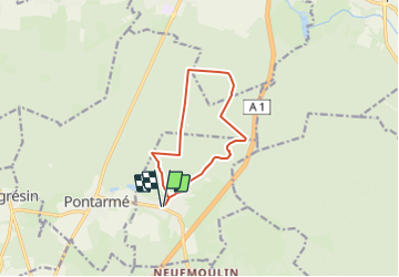
Thiers sur Thève 9.5 km

Djaie60
User

Length
9.5 km

Max alt
102 m

Uphill gradient
85 m
Km-Effort
10.6 km

Min alt
56 m

Downhill gradient
85 m
Boucle
Yes
Creation date :
2019-10-12 14:29:16.25
Updated on :
2023-08-28 13:07:39.325
2h24
Difficulty : Easy

FREE GPS app for hiking
 SityTrail
IGN / Geographical institutes
SityTrail Plus
The world is yours!
About
Trail On foot of 9.5 km to be discovered at Hauts-de-France, Oise, Thiers-sur-Thève. This trail is proposed by Djaie60.
Positioning
Country:
France
Region :
Hauts-de-France
Department/Province :
Oise
Municipality :
Thiers-sur-Thève
Location:
Unknown
Start:(Dec)
Start:(UTM)
468728 ; 5444508 (31U) N.
Comments