


St Priest d'Andelot

Gegetop
User
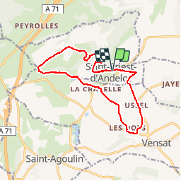

Length
14.3 km

Max alt
522 m

Uphill gradient
239 m
Km-Effort
17.5 km

Min alt
412 m

Downhill gradient
241 m
Boucle
Yes
Creation date :
2019-10-16 09:38:17.589
Updated on :
2019-10-16 13:50:53.088
3h31
Difficulty : Easy

FREE GPS app for hiking
 SityTrail
IGN / Geographical institutes
SityTrail Plus
The world is yours!
About
Trail Nordic walking of 14.3 km to be discovered at Auvergne-Rhône-Alpes, Allier, Saint-Priest-d'Andelot. This trail is proposed by Gegetop.
Description
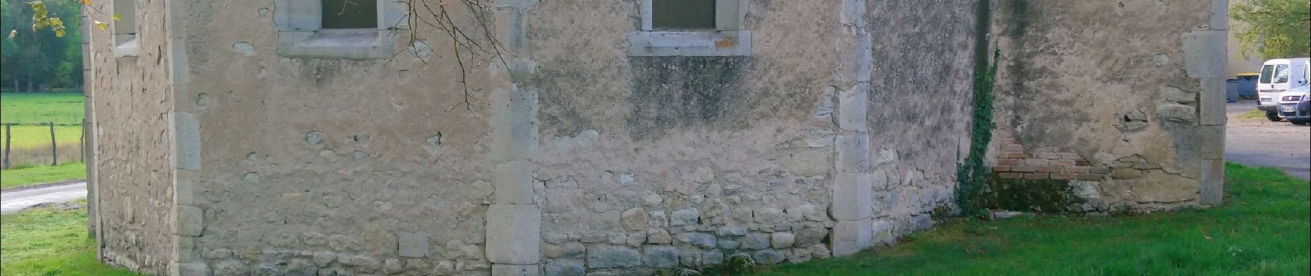
Départ de l'église.
Photos

Positioning
Country:
France
Region :
Auvergne-Rhône-Alpes
Department/Province :
Allier
Municipality :
Saint-Priest-d'Andelot
Location:
Unknown
Start:(Dec)
Start:(UTM)
512728 ; 5101877 (31T) N.
Comments