


mutzig rocher

mitch1915
User
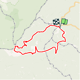

Length
14.6 km

Max alt
1000 m

Uphill gradient
650 m
Km-Effort
23 km

Min alt
390 m

Downhill gradient
636 m
Boucle
Yes
Creation date :
2019-10-16 10:13:49.593
Updated on :
2019-10-16 17:36:23.602
4h25
Difficulty : Medium

FREE GPS app for hiking
 SityTrail
IGN / Geographical institutes
SityTrail Plus
The world is yours!
About
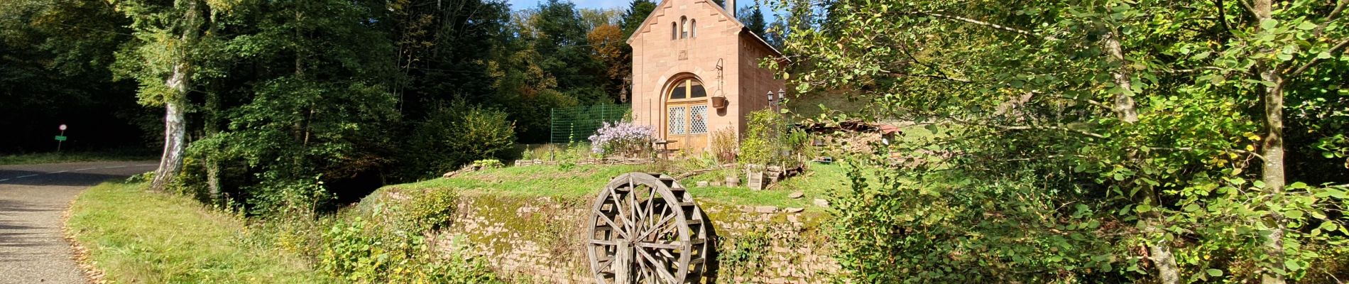
Trail Walking of 14.6 km to be discovered at Grand Est, Bas-Rhin, Oberhaslach. This trail is proposed by mitch1915.
Photos


Positioning
Country:
France
Region :
Grand Est
Department/Province :
Bas-Rhin
Municipality :
Oberhaslach
Location:
Unknown
Start:(Dec)
Start:(UTM)
372352 ; 5380809 (32U) N.
Comments