


Le Lac des Quirlies

geranimo
User
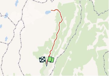

Length
14 km

Max alt
2574 m

Uphill gradient
958 m
Km-Effort
27 km

Min alt
1615 m

Downhill gradient
958 m
Boucle
Yes
Creation date :
2019-10-16 22:04:24.299
Updated on :
2019-10-22 18:59:00.365
--
Difficulty : Difficult

FREE GPS app for hiking
 SityTrail
IGN / Geographical institutes
SityTrail Plus
The world is yours!
About
Trail On foot of 14 km to be discovered at Auvergne-Rhône-Alpes, Isère, Clavans-en-Haut-Oisans. This trail is proposed by geranimo.
Positioning
Country:
France
Region :
Auvergne-Rhône-Alpes
Department/Province :
Isère
Municipality :
Clavans-en-Haut-Oisans
Location:
Unknown
Start:(Dec)
Start:(UTM)
276917 ; 4997979 (32T) N.
Comments