


Lac et Glacier d'Arsine

geranimo
User

Length
21 km

Max alt
2462 m

Uphill gradient
706 m
Km-Effort
31 km

Min alt
2023 m

Downhill gradient
707 m
Boucle
Yes
Creation date :
2019-10-22 21:25:32.045
Updated on :
2019-10-22 21:29:54.168
--
Difficulty : Medium

FREE GPS app for hiking
 SityTrail
IGN / Geographical institutes
SityTrail Plus
The world is yours!
About
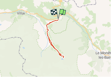
Trail On foot of 21 km to be discovered at Provence-Alpes-Côte d'Azur, Hautes-Alpes, Villar-d'Arêne. This trail is proposed by geranimo.
Positioning
Country:
France
Region :
Provence-Alpes-Côte d'Azur
Department/Province :
Hautes-Alpes
Municipality :
Villar-d'Arêne
Location:
Unknown
Start:(Dec)
Start:(UTM)
295455 ; 4989925 (32T) N.
Comments