


69620LegnyLeBreuil_191023_pied

adye
User


Length
14.2 km

Max alt
407 m

Uphill gradient
430 m
Km-Effort
19.5 km

Min alt
232 m

Downhill gradient
295 m
Boucle
No
Creation date :
2019-10-23 08:42:02.304
Updated on :
2019-10-23 13:20:21.799
1h30
Difficulty : Easy
1h00
Difficulty : Very easy

FREE GPS app for hiking
 SityTrail
IGN / Geographical institutes
SityTrail Plus
The world is yours!
About
Trail Walking of 14.2 km to be discovered at Auvergne-Rhône-Alpes, Rhône, Légny. This trail is proposed by adye.
Description
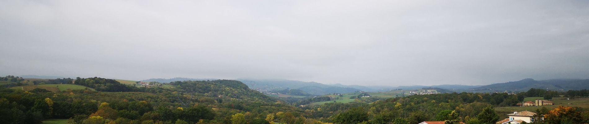
Départ des Ponts-Tarrets, ruisseau de Nizy, Le Brésil, Curet, Billy, Le Breuil, Les Ponts-Tarrets.
Photos


Positioning
Country:
France
Region :
Auvergne-Rhône-Alpes
Department/Province :
Rhône
Municipality :
Légny
Location:
Unknown
Start:(Dec)
Start:(UTM)
622339 ; 5084853 (31T) N.
Comments