


Rousson 171019

fario
User
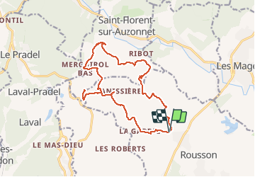

Length
17.4 km

Max alt
524 m

Uphill gradient
567 m
Km-Effort
25 km

Min alt
270 m

Downhill gradient
569 m
Boucle
Yes
Creation date :
2019-10-27 08:42:56.488
Updated on :
2020-07-21 15:38:00.148
7h25
Difficulty : Very easy

FREE GPS app for hiking
 SityTrail
IGN / Geographical institutes
SityTrail Plus
The world is yours!
About
Trail Walking of 17.4 km to be discovered at Occitania, Gard, Rousson. This trail is proposed by fario.
Description
Rando assez banale avec vallabrix , petite erreur de chemin, aller / retour.
Je me suis fait une entorse au genou qui me devra 2 mois de repos.
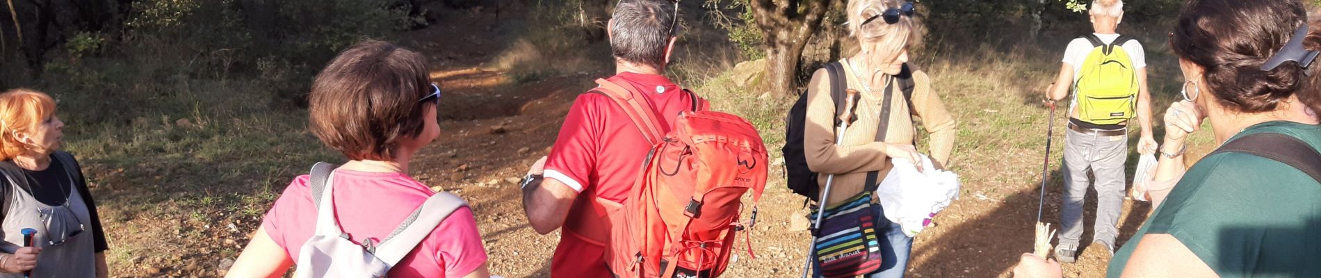
Photos


Positioning
Country:
France
Region :
Occitania
Department/Province :
Gard
Municipality :
Rousson
Location:
Unknown
Start:(Dec)
Start:(UTM)
590470 ; 4895251 (31T) N.
Comments