


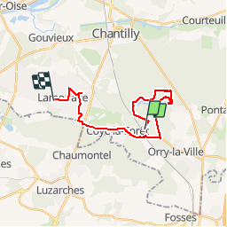
Autour des Etangs

domifon
User

Length
19.1 km

Max alt
95 m

Uphill gradient
160 m
Km-Effort
21 km

Min alt
28 m

Downhill gradient
213 m
Boucle
No
Creation date :
2019-11-02 08:46:56.0
Updated on :
2019-11-02 11:35:26.369
2h46
Difficulty : Unknown

FREE GPS app for hiking
 SityTrail
IGN / Geographical institutes
SityTrail Plus
The world is yours!
About
Trail Nordic walking of 19.1 km to be discovered at Hauts-de-France, Oise, Coye-la-Forêt. This trail is proposed by domifon.
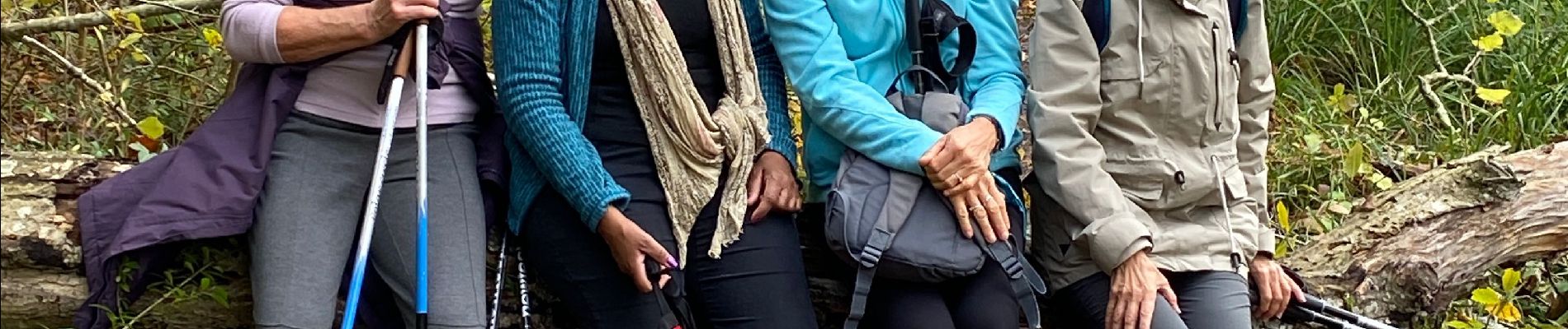
Photos


Positioning
Country:
France
Region :
Hauts-de-France
Department/Province :
Oise
Municipality :
Coye-la-Forêt
Location:
Unknown
Start:(Dec)
Start:(UTM)
462674 ; 5443505 (31U) N.
Comments