


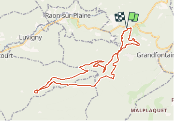
Sentier des Casemates Sud -lac de la Maix

geranimo
User

Length
20 km

Max alt
891 m

Uphill gradient
555 m
Km-Effort
28 km

Min alt
629 m

Downhill gradient
556 m
Boucle
Yes
Creation date :
2019-11-02 17:58:20.594
Updated on :
2020-06-26 18:51:47.717
--
Difficulty : Difficult

FREE GPS app for hiking
 SityTrail
IGN / Geographical institutes
SityTrail Plus
The world is yours!
About
Trail On foot of 20 km to be discovered at Grand Est, Bas-Rhin, Grandfontaine. This trail is proposed by geranimo.
Positioning
Country:
France
Region :
Grand Est
Department/Province :
Bas-Rhin
Municipality :
Grandfontaine
Location:
Unknown
Start:(Dec)
Start:(UTM)
362559 ; 5374210 (32U) N.
Comments