


mounier

brandy
User
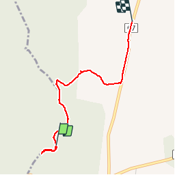

Length
2.7 km

Max alt
296 m

Uphill gradient
44 m
Km-Effort
3.1 km

Min alt
256 m

Downhill gradient
5 m
Boucle
No
Creation date :
2019-11-10 16:01:40.296
Updated on :
2019-11-10 16:49:57.31
47m
Difficulty : Very easy

FREE GPS app for hiking
 SityTrail
IGN / Geographical institutes
SityTrail Plus
The world is yours!
About
Trail Walking of 2.7 km to be discovered at Auvergne-Rhône-Alpes, Ardèche, Bidon. This trail is proposed by brandy.
Description
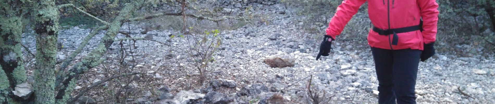
mounier
Photos

Positioning
Country:
France
Region :
Auvergne-Rhône-Alpes
Department/Province :
Ardèche
Municipality :
Bidon
Location:
Unknown
Start:(Dec)
Start:(UTM)
621085 ; 4910998 (31T) N.
Comments