


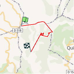

9.6 km | 13.2 km-effort

User


FREE GPS app for hiking
 SityTrail
IGN / Geographical institutes
SityTrail World
The world is yours!
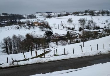
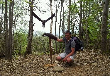
Trail Walking of 4 km to be discovered at Auvergne-Rhône-Alpes, Isère, Serre-Nerpol. This trail is proposed by ALAIN3859.
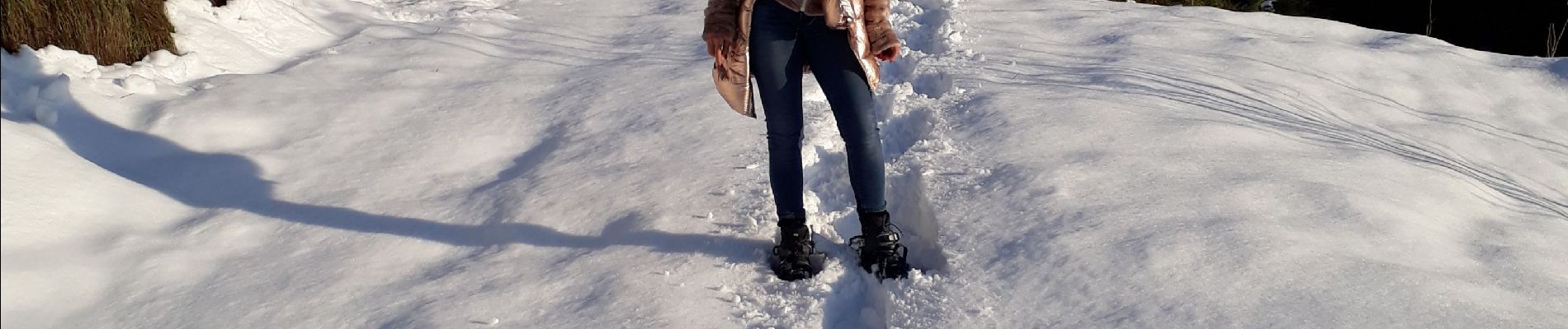
en raquette et à pied


Walking
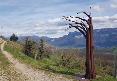
Walking
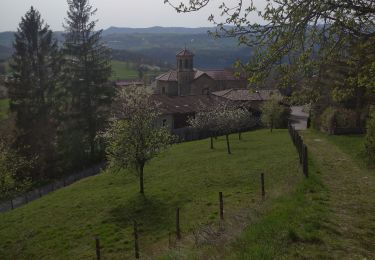
Walking
Walking
Walking

Walking
Walking
Walking
Walking