


Madone d utelle en boucle depuis Utelle

boboazur
User


3h39
Difficulty : Easy

FREE GPS app for hiking
 SityTrail
IGN / Geographical institutes
SityTrail Plus
The world is yours!
About
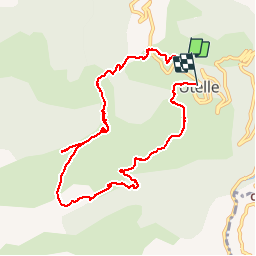
Trail Walking of 9.5 km to be discovered at Provence-Alpes-Côte d'Azur, Maritime Alps, Utelle. This trail is proposed by boboazur.
Description
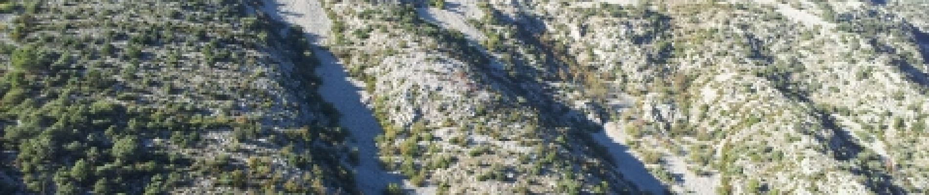
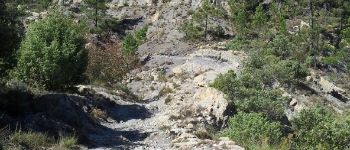
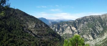
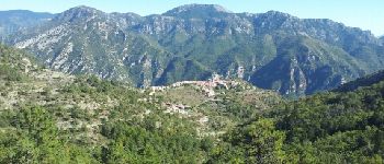
Belle rando en boucle au départ du village perché d'Utelle. De la madone d'Utelle, très beau point de vue mer et sur les plus hauts sommets du Mercantour: Argentera, Gelas, Clapier, Bego, Maledie,...
Photos


Positioning
Comments