


Rando La Morte

TRIMAILLE
User

Length
9.2 km

Max alt
2086 m

Uphill gradient
469 m
Km-Effort
15.4 km

Min alt
1652 m

Downhill gradient
468 m
Boucle
Yes
Creation date :
2019-11-25 11:39:58.055
Updated on :
2019-11-25 18:12:05.876
3h08
Difficulty : Difficult

FREE GPS app for hiking
 SityTrail
IGN / Geographical institutes
SityTrail Plus
The world is yours!
About
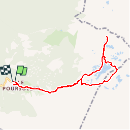
Trail Walking of 9.2 km to be discovered at Auvergne-Rhône-Alpes, Isère, Livet-et-Gavet. This trail is proposed by TRIMAILLE.
Positioning
Country:
France
Region :
Auvergne-Rhône-Alpes
Department/Province :
Isère
Municipality :
Livet-et-Gavet
Location:
Unknown
Start:(Dec)
Start:(UTM)
728309 ; 4992925 (31T) N.
Comments