


Balade dans le Viroinval - Le Mesnil

Desrumaux
User GUIDE
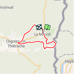

Length
9.7 km

Max alt
372 m

Uphill gradient
203 m
Km-Effort
12.5 km

Min alt
270 m

Downhill gradient
206 m
Boucle
Yes
Creation date :
2019-11-30 09:12:41.359
Updated on :
2019-12-03 06:45:46.29
3h36
Difficulty : Very easy

FREE GPS app for hiking
 SityTrail
IGN / Geographical institutes
SityTrail Plus
The world is yours!
About
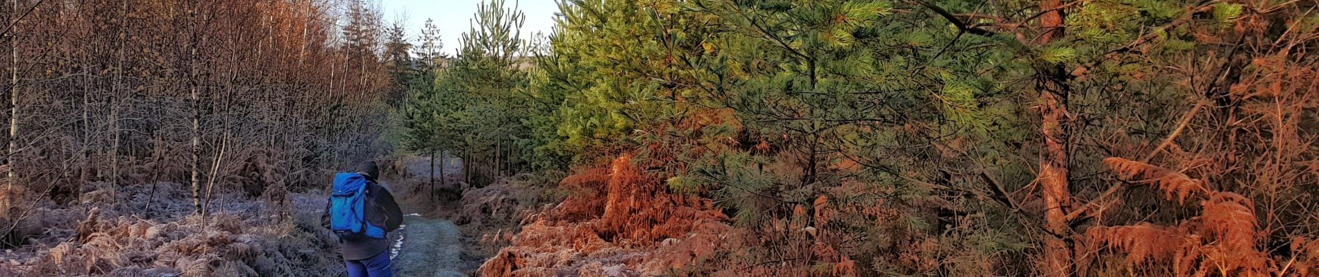
Trail Walking of 9.7 km to be discovered at Wallonia, Namur, Viroinval. This trail is proposed by Desrumaux.
Description
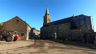
Village clairière enclavé dans la grande forêt ardennaise, Le Mesnil est le village le moins peuplé et le plus pittoresque de l'entité de Viroinval.
Balisage: rectangle rouge
Photos


Positioning
Country:
Belgium
Region :
Wallonia
Department/Province :
Namur
Municipality :
Viroinval
Location:
Le Mesnil
Start:(Dec)
Start:(UTM)
619766 ; 5543450 (31U) N.
Comments