


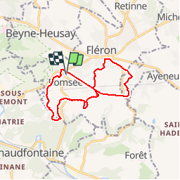
romsee

berger64
User

Length
12.2 km

Max alt
265 m

Uphill gradient
250 m
Km-Effort
15.6 km

Min alt
142 m

Downhill gradient
248 m
Boucle
Yes
Creation date :
2019-12-01 09:18:18.517
Updated on :
2019-12-01 12:56:11.41
3h37
Difficulty : Medium

FREE GPS app for hiking
 SityTrail
IGN / Geographical institutes
SityTrail Plus
The world is yours!
About
Trail Walking of 12.2 km to be discovered at Wallonia, Liège, Fléron. This trail is proposed by berger64.
Description
marche de et nicolas
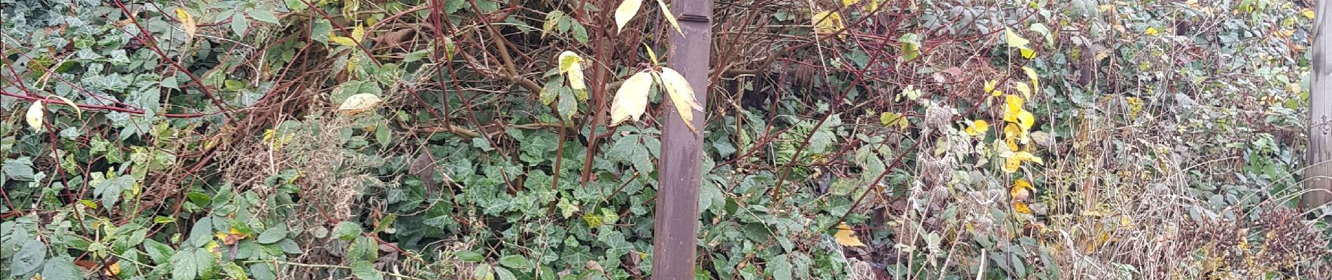
Photos


Positioning
Country:
Belgium
Region :
Wallonia
Department/Province :
Liège
Municipality :
Fléron
Location:
Romsée
Start:(Dec)
Start:(UTM)
688654 ; 5609746 (31U) N.
Comments