Epaiais Rhus

avdem
User
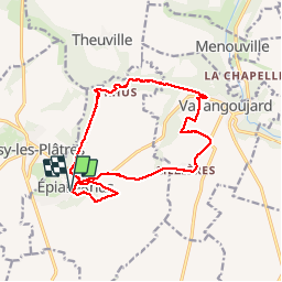

Length
14.3 km

Max alt
171 m

Uphill gradient
242 m
Km-Effort
17.5 km

Min alt
51 m

Downhill gradient
246 m
Boucle
Yes
Creation date :
2019-12-03 08:32:27.999
Updated on :
2019-12-03 13:48:47.869
3h36
Difficulty : Very easy

FREE GPS app for hiking
 SityTrail
IGN / Geographical institutes
SityTrail Plus
The world is yours!
About
Trail Walking of 14.3 km to be discovered at Ile-de-France, Val-d'Oise, Épiais-Rhus. This trail is proposed by avdem.
Description
Epriais , Rhus,Vallongoujar
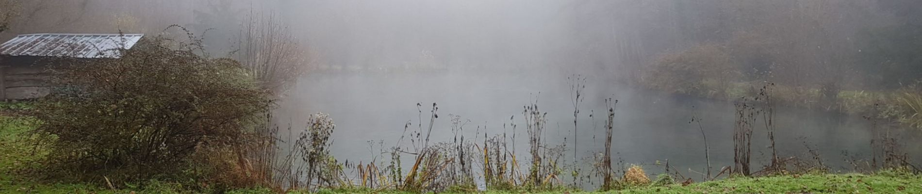
Photos


Positioning
Country:
France
Region :
Ile-de-France
Department/Province :
Val-d'Oise
Municipality :
Épiais-Rhus
Location:
Unknown
Start:(Dec)
Start:(UTM)
431599 ; 5441486 (31U) N.
Comments