


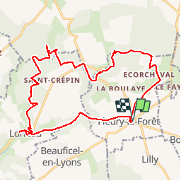
Fleury la forêt vers Lorleau

MichelRando7656
User


5h43
Difficulty : Very easy

FREE GPS app for hiking
 SityTrail
IGN / Geographical institutes
SityTrail Plus
The world is yours!
About
Trail Walking of 20 km to be discovered at Normandy, Eure, Fleury-la-Forêt. This trail is proposed by MichelRando7656.
Description
Rando à travers la campagne et la forêt de Lyons. Superbe sentiers herbeux, parfois très boueux. Larges allées cavalières et passages dans des longs chemins à flancs de collines.
A voir Lorleau et son château, ses étangs et la source de la Lieure.
A voir l'église de Fleury. (parking juste derrière l'église et la mairie)
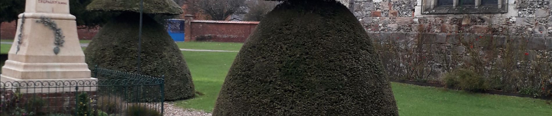
Photos


Positioning
Comments