


Aiguës Vives

PiloudeBamako
User
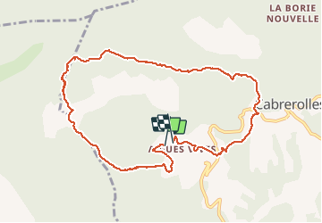

Length
11.1 km

Max alt
683 m

Uphill gradient
490 m
Km-Effort
17.6 km

Min alt
298 m

Downhill gradient
477 m
Boucle
Yes
Creation date :
2019-12-12 08:29:52.0
Updated on :
2019-12-12 14:29:31.875
5h11
Difficulty : Very difficult

FREE GPS app for hiking
 SityTrail
IGN / Geographical institutes
SityTrail Plus
The world is yours!
About
Trail Walking of 11.1 km to be discovered at Occitania, Hérault, Cabrerolles. This trail is proposed by PiloudeBamako.
Description
XX
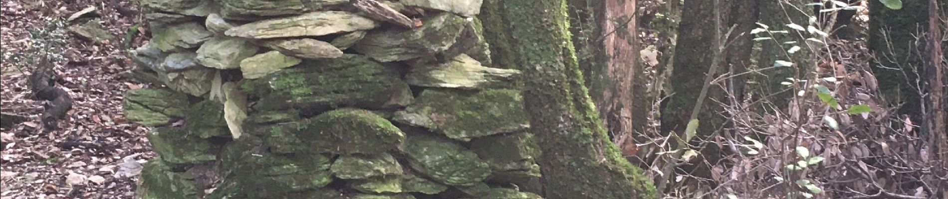
Photos


Positioning
Country:
France
Region :
Occitania
Department/Province :
Hérault
Municipality :
Cabrerolles
Location:
Unknown
Start:(Dec)
Start:(UTM)
508165 ; 4820638 (31T) N.
Comments