


Mongesoye 12 déc 2019 CAF

TRIMAILLE
User
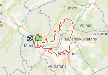

Length
19.3 km

Max alt
652 m

Uphill gradient
597 m
Km-Effort
27 km

Min alt
343 m

Downhill gradient
597 m
Boucle
Yes
Creation date :
2019-12-12 08:19:35.855
Updated on :
2019-12-13 11:24:13.545
7h03
Difficulty : Difficult

FREE GPS app for hiking
 SityTrail
IGN / Geographical institutes
SityTrail Plus
The world is yours!
About
Trail Walking of 19.3 km to be discovered at Bourgogne-Franche-Comté, Doubs. This trail is proposed by TRIMAILLE.
Description
Départ Montgesoye, parking du monument aux morts
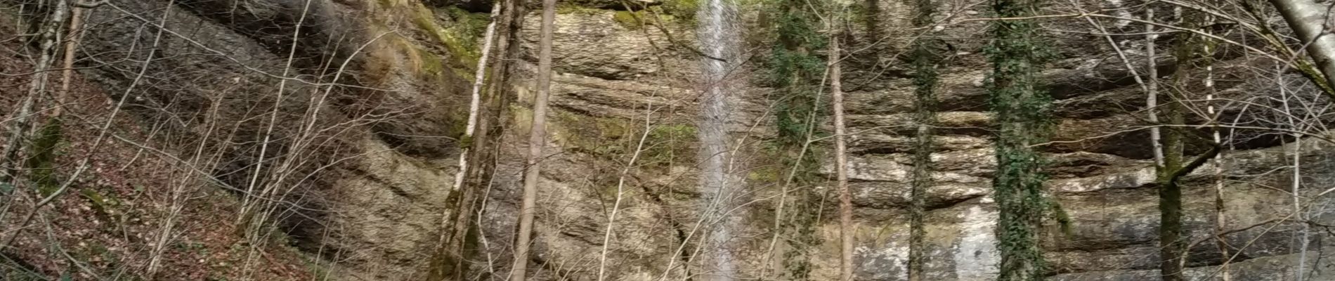
Photos


Positioning
Country:
France
Region :
Bourgogne-Franche-Comté
Department/Province :
Doubs
Municipality :
MONTGESOYE
Location:
Unknown
Start:(Dec)
Start:(UTM)
286682 ; 5218056 (32T) N.
Comments