


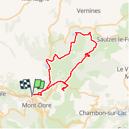


17.7 km | 24 km-effort


User


FREE GPS app for hiking
 SityTrail
IGN / Geographical institutes
SityTrail World
The world is yours!
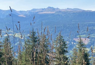
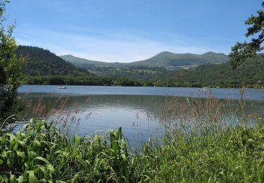
Trail Walking of 34 km to be discovered at Auvergne-Rhône-Alpes, Puy-de-Dôme, Mont-Dore. This trail is proposed by loloetienne.


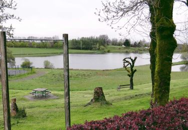
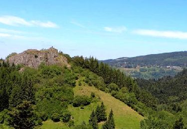
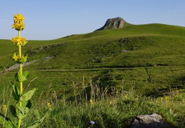
49 photos in total. Please click on a photo to see them all in the gallery.
Walking

Walking
Walking
Walking

Walking

Walking

Walking
Walking
On foot
Tres bonne balade avec des paysages variés, dommage pour la petit portion de route à la fin (malheureusement pas de chemin équivalent) qui n'entache pas pour autant le reste du parcours !
Une très bonne randonnée aux paysages variés et agréables. Difficulté très acceptable. Un petit bémol sur les quelques kilomètres de routes à la fin.