


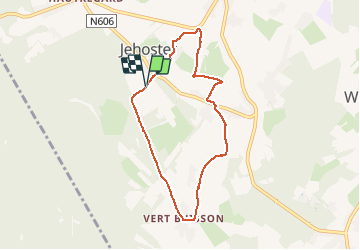
Charmille - Vert Buisson - La Reid

flouzer
User

Length
6.2 km

Max alt
420 m

Uphill gradient
122 m
Km-Effort
7.8 km

Min alt
298 m

Downhill gradient
126 m
Boucle
Yes
Creation date :
2019-12-15 10:11:51.351
Updated on :
2019-12-15 11:59:15.961
1h40
Difficulty : Easy

FREE GPS app for hiking
 SityTrail
IGN / Geographical institutes
SityTrail Plus
The world is yours!
About
Trail Walking of 6.2 km to be discovered at Wallonia, Liège, Theux. This trail is proposed by flouzer.
Description
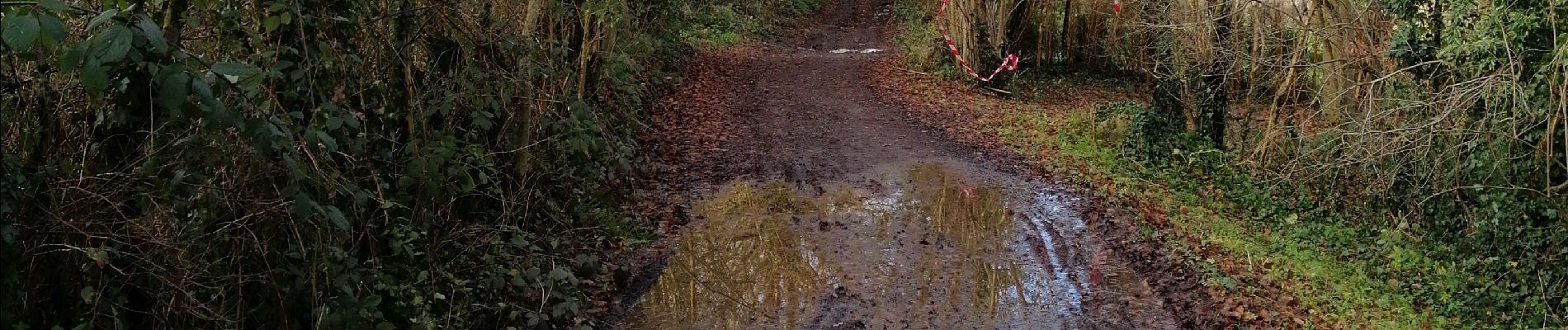
Après des périodes pluvieuses, prévoir des chaussures étanches pour un passage à gué qui est à quelques cm de profondeur avec le surplus de courant.
Photos


Positioning
Country:
Belgium
Region :
Wallonia
Department/Province :
Liège
Municipality :
Theux
Location:
La Reid
Start:(Dec)
Start:(UTM)
696988 ; 5595480 (31U) N.
Comments