


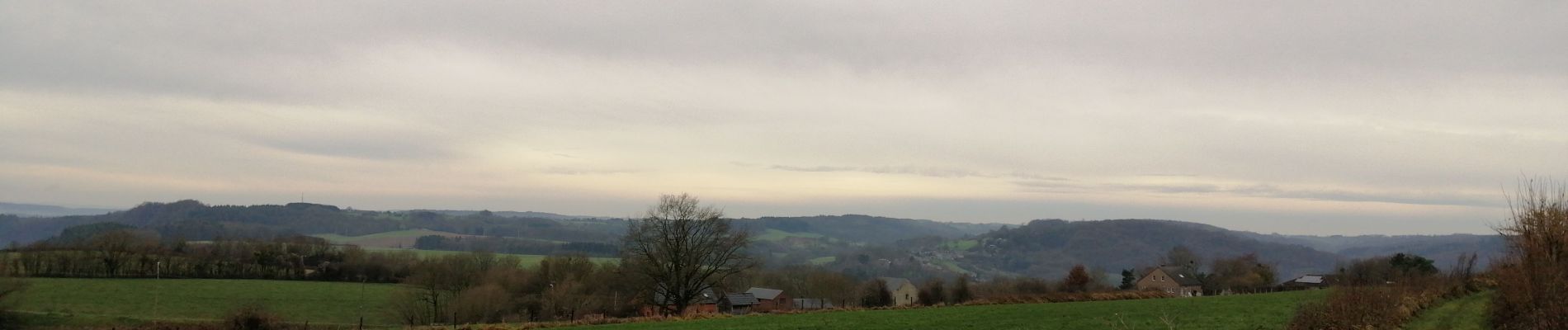
Dolembreux - Lincé - La Haze - Hautgné

flouzer
User
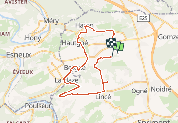

Length
14.5 km

Max alt
285 m

Uphill gradient
307 m
Km-Effort
18.6 km

Min alt
168 m

Downhill gradient
304 m
Boucle
No
Creation date :
2019-12-26 10:54:58.556
Updated on :
2019-12-26 14:38:31.996
3h40
Difficulty : Medium

FREE GPS app for hiking
 SityTrail
IGN / Geographical institutes
SityTrail Plus
The world is yours!
About
Trail Walking of 14.5 km to be discovered at Wallonia, Liège, Sprimont. This trail is proposed by flouzer.
Photos


Positioning
Country:
Belgium
Region :
Wallonia
Department/Province :
Liège
Municipality :
Sprimont
Location:
Dolembreux
Start:(Dec)
Start:(UTM)
686683 ; 5601018 (31U) N.
Comments