


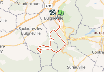
PR3 Bigneville étang des récollets . Contrexeville lac de conge

stef789
User GUIDE

Length
12 km

Max alt
444 m

Uphill gradient
225 m
Km-Effort
15 km

Min alt
351 m

Downhill gradient
227 m
Boucle
Yes
Creation date :
2019-12-27 12:01:37.224
Updated on :
2019-12-27 16:09:30.435
3h06
Difficulty : Very easy

FREE GPS app for hiking
 SityTrail
IGN / Geographical institutes
SityTrail Plus
The world is yours!
About
Trail Walking of 12 km to be discovered at Grand Est, Vosges, Bulgnéville. This trail is proposed by stef789.
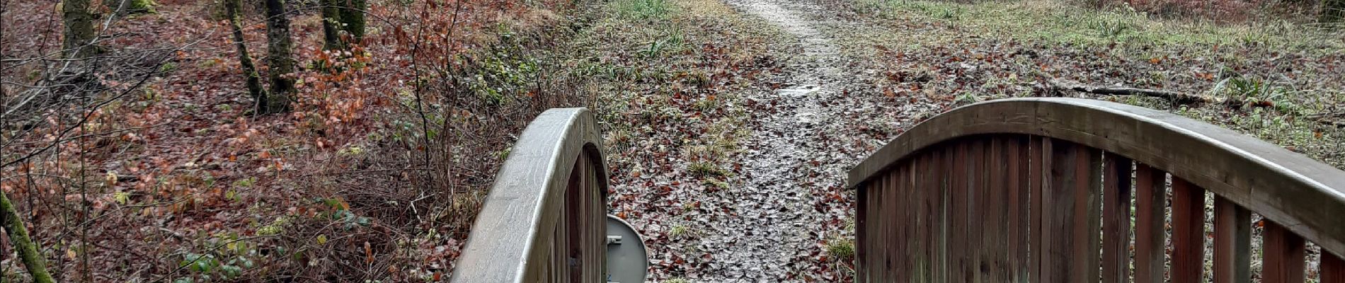
Photos


Positioning
Country:
France
Region :
Grand Est
Department/Province :
Vosges
Municipality :
Bulgnéville
Location:
Unknown
Start:(Dec)
Start:(UTM)
710941 ; 5343187 (31U) N.
Comments