


mont Beuvray

jojoh2o
User
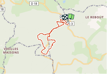

Length
6.8 km

Max alt
826 m

Uphill gradient
215 m
Km-Effort
9.7 km

Min alt
611 m

Downhill gradient
223 m
Boucle
Yes
Creation date :
2020-01-01 12:13:43.779
Updated on :
2020-01-01 16:51:14.958
3h22
Difficulty : Very easy

FREE GPS app for hiking
 SityTrail
IGN / Geographical institutes
SityTrail Plus
The world is yours!
About
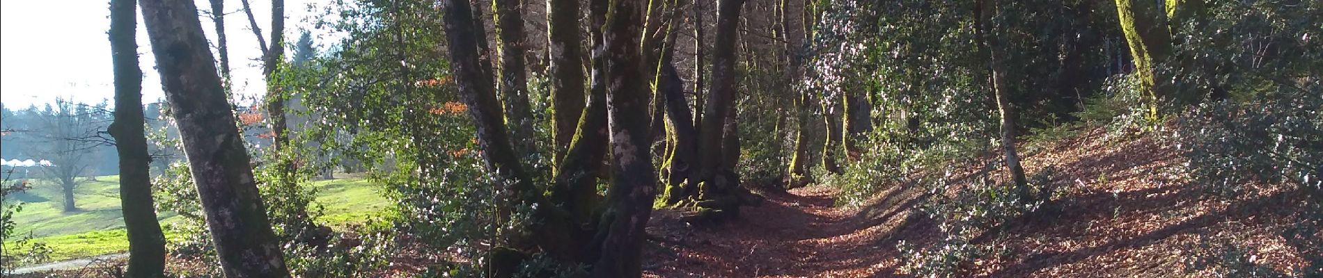
Trail Walking of 6.8 km to be discovered at Bourgogne-Franche-Comté, Nièvre, Glux-en-Glenne. This trail is proposed by jojoh2o.
Photos


Positioning
Country:
France
Region :
Bourgogne-Franche-Comté
Department/Province :
Nièvre
Municipality :
Glux-en-Glenne
Location:
Unknown
Start:(Dec)
Start:(UTM)
579717 ; 5198171 (31T) N.
Comments