


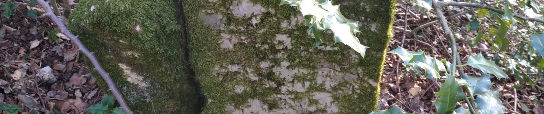
Royales bornes chailluz photos Michel

TRIMAILLE
User

Length
5.7 km

Max alt
466 m

Uphill gradient
121 m
Km-Effort
7.4 km

Min alt
360 m

Downhill gradient
154 m
Boucle
No
Creation date :
2020-01-05 08:20:34.352
Updated on :
2020-05-07 16:32:52.079
2h36
Difficulty : Very easy

FREE GPS app for hiking
 SityTrail
IGN / Geographical institutes
SityTrail Plus
The world is yours!
About
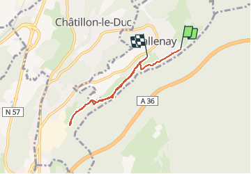
Trail Walking of 5.7 km to be discovered at Bourgogne-Franche-Comté, Doubs, Tallenay. This trail is proposed by TRIMAILLE.
Photos


58 photos in total. Please click on a photo to see them all in the gallery.

Positioning
Country:
France
Region :
Bourgogne-Franche-Comté
Department/Province :
Doubs
Municipality :
Tallenay
Location:
Unknown
Start:(Dec)
Start:(UTM)
275318 ; 5243214 (32T) N.
Comments