


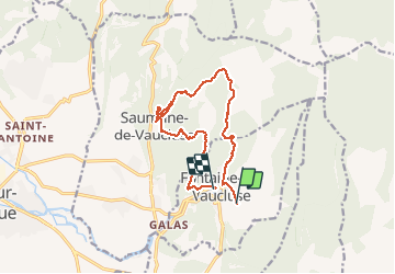
fontaine du Vaucluse. saumane

losjo
User

Length
14 km

Max alt
427 m

Uphill gradient
616 m
Km-Effort
22 km

Min alt
80 m

Downhill gradient
666 m
Boucle
No
Creation date :
2020-01-07 08:54:54.333
Updated on :
2020-01-07 19:14:12.896
6h23
Difficulty : Medium

FREE GPS app for hiking
 SityTrail
IGN / Geographical institutes
SityTrail Plus
The world is yours!
About
Trail Walking of 14 km to be discovered at Provence-Alpes-Côte d'Azur, Vaucluse, Fontaine-de-Vaucluse. This trail is proposed by losjo.
Description
difficultés moyennes
Positioning
Country:
France
Region :
Provence-Alpes-Côte d'Azur
Department/Province :
Vaucluse
Municipality :
Fontaine-de-Vaucluse
Location:
Unknown
Start:(Dec)
Start:(UTM)
671183 ; 4865017 (31T) N.
Comments