


St Cyr du Ronceray

Eve - Line
User
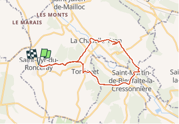

Length
15.2 km

Max alt
172 m

Uphill gradient
323 m
Km-Effort
19.5 km

Min alt
78 m

Downhill gradient
322 m
Boucle
Yes
Creation date :
2020-01-10 11:52:33.024
Updated on :
2020-01-10 15:48:05.65
3h53
Difficulty : Medium

FREE GPS app for hiking
 SityTrail
IGN / Geographical institutes
SityTrail Plus
The world is yours!
About
Trail Walking of 15.2 km to be discovered at Normandy, Calvados, Valorbiquet. This trail is proposed by Eve - Line.
Description
Circuit très agréable
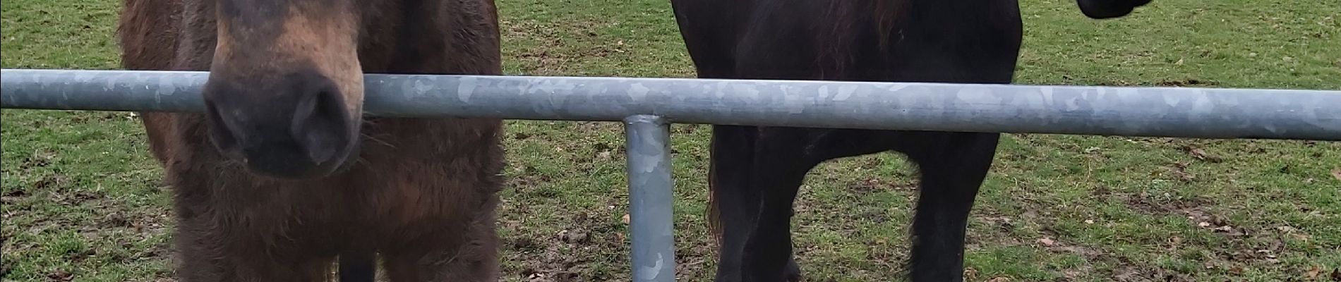
Photos


Positioning
Country:
France
Region :
Normandy
Department/Province :
Calvados
Municipality :
Valorbiquet
Location:
Saint-Cyr-du-Ronceray
Start:(Dec)
Start:(UTM)
302655 ; 5436898 (31U) N.
Comments