


Evans 14 janv 2020 CAF

TRIMAILLE
User
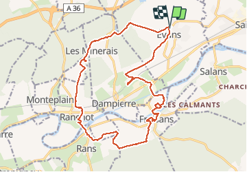

Length
21 km

Max alt
272 m

Uphill gradient
268 m
Km-Effort
25 km

Min alt
209 m

Downhill gradient
272 m
Boucle
Yes
Creation date :
2020-01-14 07:49:35.421
Updated on :
2020-01-14 17:38:47.357
6h21
Difficulty : Difficult

FREE GPS app for hiking
 SityTrail
IGN / Geographical institutes
SityTrail Plus
The world is yours!
About
Trail Walking of 21 km to be discovered at Bourgogne-Franche-Comté, Jura, Évans. This trail is proposed by TRIMAILLE.
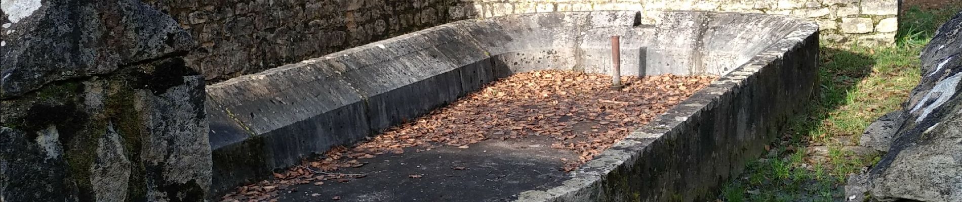
Photos


Positioning
Country:
France
Region :
Bourgogne-Franche-Comté
Department/Province :
Jura
Municipality :
Évans
Location:
Unknown
Start:(Dec)
Start:(UTM)
709764 ; 5228882 (31T) N.
Comments