


13.6 km | 16.7 km-effort

User


FREE GPS app for hiking
 SityTrail
IGN / Geographical institutes
SityTrail World
The world is yours!
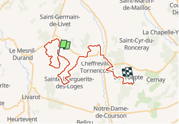
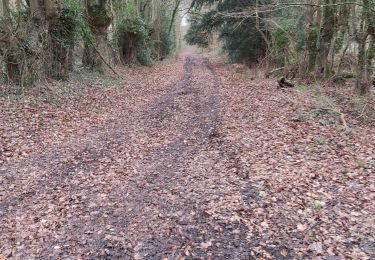
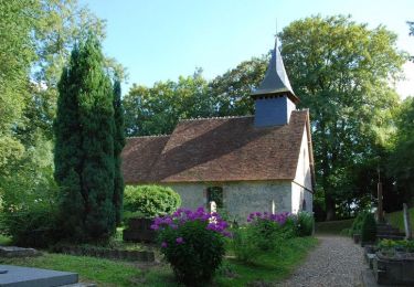
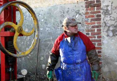
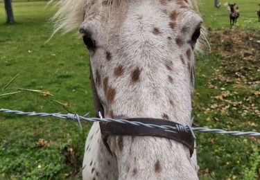
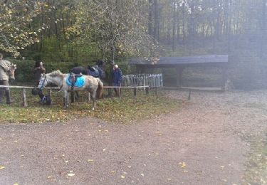
Trail 4x4 of 31 km to be discovered at Normandy, Calvados, Livarot-Pays-d'Auge. This trail is proposed by Belloche.
Sortie Mesnil germain Fervaques

Walking

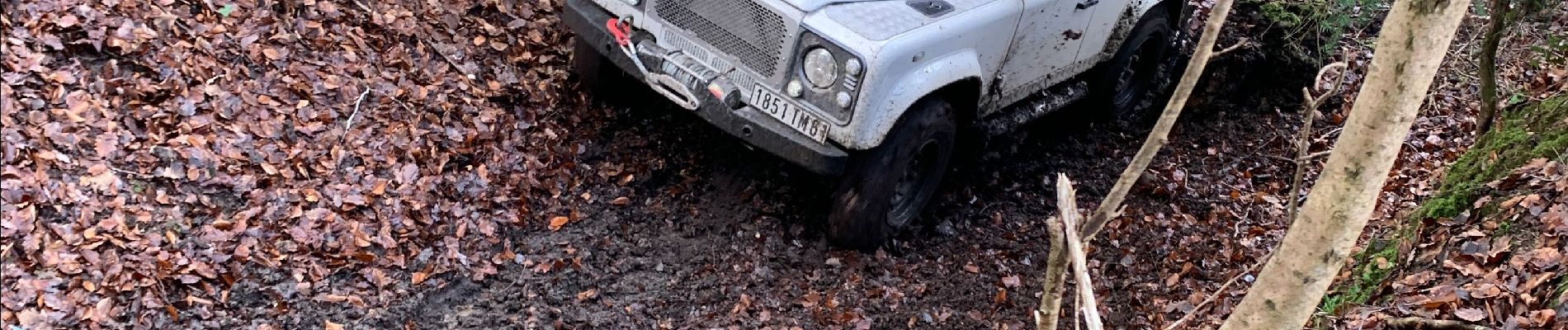
Mountain bike
On foot

On foot
Walking
Walking
Walking
Walking
Equestrian