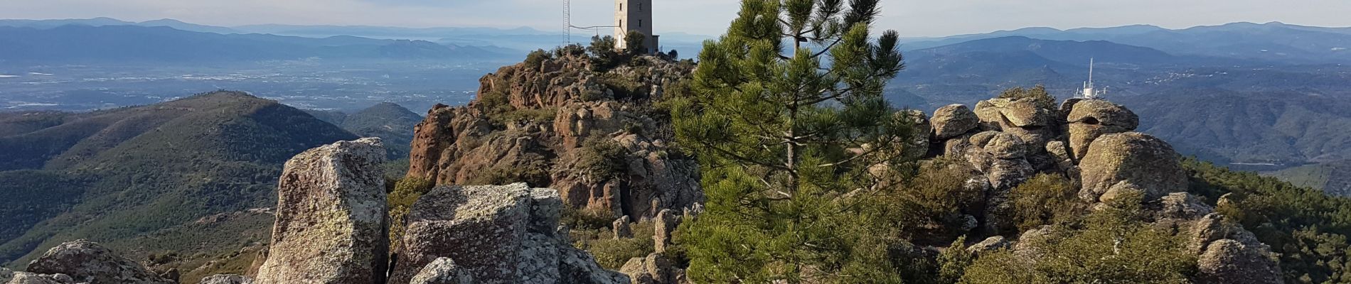
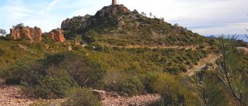
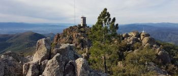
Trail Walking Fréjus - mont vinaigre - Photo
 Margaide
Margaide

User

© OpenStreetMap contributors
Length
Length
11.4 km
Max alt
Max alt
600 m
Uphill gradient
Uphill gradient
442 m
Km-Effort
Km-Effort  
17.3 km
Min alt
Min alt
235 m
Downhill gradient
Downhill gradient
444 m
Boucle
Boucle
Yes
Creation date :
2020-01-19 09:40:35.149
Updated on :
2020-01-20 22:29:42.808

(2 Reviews)

Walking
Walking
2h58
Difficulty : Medium

Scan this QR Code to open this trail in the SityTrail application

FREE GPS app for hiking

Logo SityTrail SityTrail

IGN / Geographical institutes

Download SityTrail from the App Store Download SityTrail from Google Play

Logo SityTrail SityTrail Plus

The world is yours!

Download SityTrail from the App Store Download SityTrail from Google Play Download SityTrail on Huawei AppGallery

About

Trail Walking of 11.4 km to be discovered at Provence-Alpes-Côte d'Azur, Var, Fréjus. This trail is proposed by Margaide.

Description

mont vinaigre en boucle par petites pistes peu fréquentées.
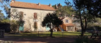
Elevation profile

Photos

Points of interest

Point of interest Fréjus - tour de gué  - Photo
Margaide
FRÉJUS 
Point of interest Fréjus - neige - Photo
Margaide
FRÉJUS 
Point of interest Saint-Raphaël - la Duchesse - Photo
Margaide
SAINT-RAPHAËL 
Point of interest Fréjus - plateforme mont vinaigre - Photo
Margaide

Positioning

Country:
France
Region :
Provence-Alpes-Côte d'Azur
Department/Province :
Var
Municipality :
Fréjus
Location:
Unknown
Start:(UTM)
322529 ; 4818379 (32T) N.

Comments

Please log in to post a review or rate the element


Close
My subscriptions