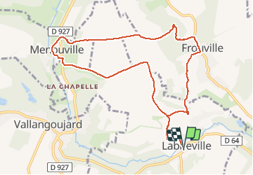
Labbeville

avdem
User

Length
10.3 km

Max alt
105 m

Uphill gradient
177 m
Km-Effort
12.6 km

Min alt
42 m

Downhill gradient
177 m
Boucle
Yes
Creation date :
2020-01-23 08:03:09.627
Updated on :
2020-01-23 10:43:42.791
2h39
Difficulty : Very easy

FREE GPS app for hiking
 SityTrail
IGN / Geographical institutes
SityTrail Plus
The world is yours!
About
Trail Walking of 10.3 km to be discovered at Ile-de-France, Val-d'Oise, Labbeville. This trail is proposed by avdem.
Description
tres facile
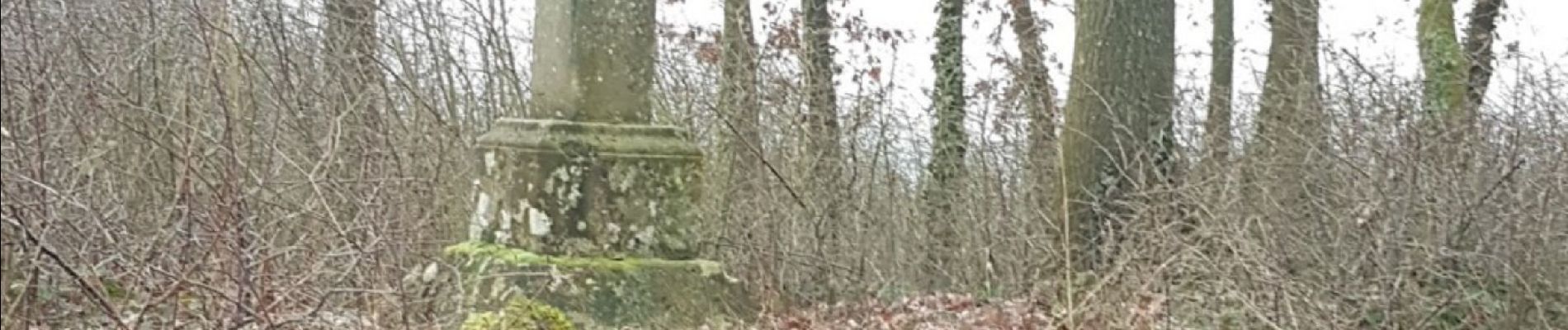
Photos


Positioning
Country:
France
Region :
Ile-de-France
Department/Province :
Val-d'Oise
Municipality :
Labbeville
Location:
Unknown
Start:(Dec)
Start:(UTM)
437573 ; 5442936 (31U) N.
Comments