


Valaurie Aiguebelle 16km

thonyc
User GUIDE
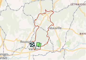

Length
16 km

Max alt
272 m

Uphill gradient
385 m
Km-Effort
21 km

Min alt
111 m

Downhill gradient
390 m
Boucle
Yes
Creation date :
2020-01-25 10:32:43.834
Updated on :
2021-10-26 15:32:37.514
5h00
Difficulty : Medium

FREE GPS app for hiking
 SityTrail
IGN / Geographical institutes
SityTrail Plus
The world is yours!
About
Trail Walking of 16 km to be discovered at Auvergne-Rhône-Alpes, Drôme, Valaurie. This trail is proposed by thonyc.
Description
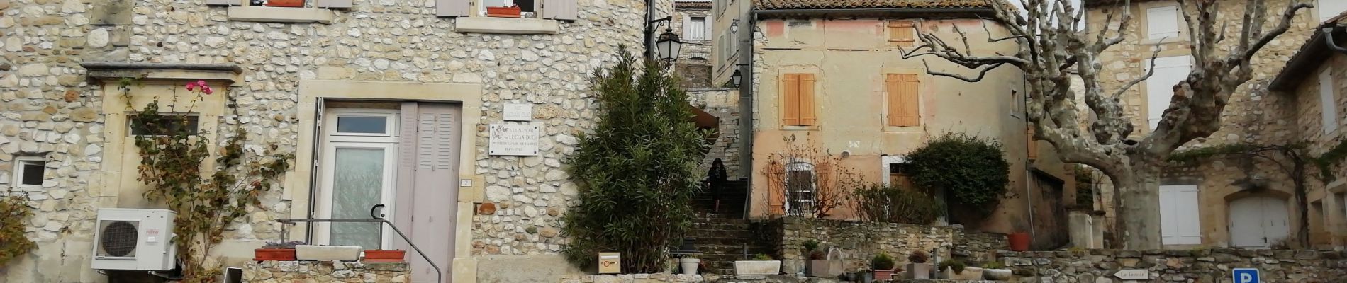
Très beau village , parcours en sous-bois, abbaye d'Aiguebelle, les cascades
Photos


Positioning
Country:
France
Region :
Auvergne-Rhône-Alpes
Department/Province :
Drôme
Municipality :
Valaurie
Location:
Unknown
Start:(Dec)
Start:(UTM)
644531 ; 4920294 (31T) N.
Comments