


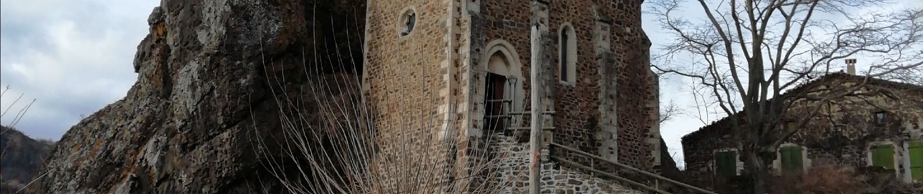
St Pons La Roche Chérie

thonyc
User GUIDE
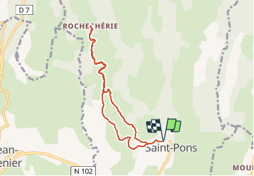


2h06
Difficulty : Very easy

FREE GPS app for hiking
 SityTrail
IGN / Geographical institutes
SityTrail Plus
The world is yours!
About
Trail Walking of 7.9 km to be discovered at Auvergne-Rhône-Alpes, Ardèche, Saint-Pons. This trail is proposed by thonyc.
Description
Joli village et hameau de La Roche Chérie dans son jus, intérêt géologique avec le neck et le plateau du Coiron basaltique, circuit majoritairement sur goudron mais peu de circulation sur route étroite. Balade agréable
Photos

Positioning
Comments