


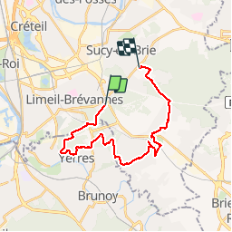


13.5 km | 15.2 km-effort

User


FREE GPS app for hiking
 SityTrail
IGN / Geographical institutes
SityTrail World
The world is yours!
Trail Other activity of 23 km to be discovered at Ile-de-France, Val-de-Marne, Limeil-Brévannes. This trail is proposed by ofontaine.
Départ de Limeil Brevannes
Arrivée à Sucy en Brie
Le 10/11/2013


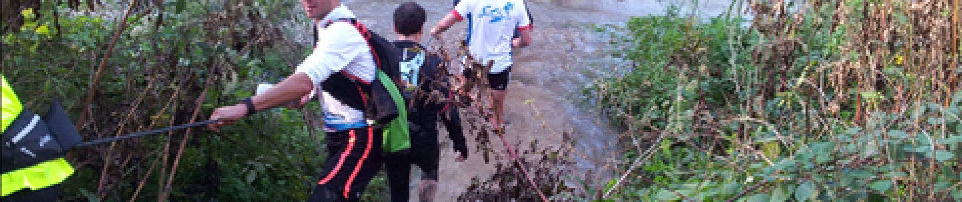
Walking

Walking

Walking

Walking
Walking

Walking
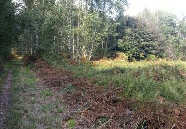
Walking
Walking
Walking