Reynes par le chemin des mas

robertperello
User
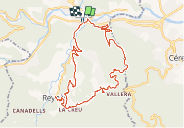

Length
13 km

Max alt
322 m

Uphill gradient
403 m
Km-Effort
18.3 km

Min alt
149 m

Downhill gradient
399 m
Boucle
Yes
Creation date :
2020-02-05 08:46:56.0
Updated on :
2020-02-05 14:21:51.497
4h19
Difficulty : Medium

FREE GPS app for hiking
 SityTrail
IGN / Geographical institutes
SityTrail Plus
The world is yours!
About
Trail Walking of 13 km to be discovered at Occitania, Pyrénées-Orientales, Reynès. This trail is proposed by robertperello.
Description
Rando facile et agréable
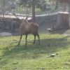
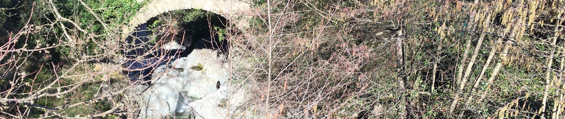
Photos


Positioning
Country:
France
Region :
Occitania
Department/Province :
Pyrénées-Orientales
Municipality :
Reynès
Location:
Unknown
Start:(Dec)
Start:(UTM)
476724 ; 4704726 (31T) N.
Comments