


Le Chalard

Gegetop
User

Length
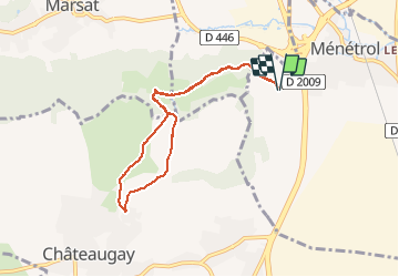
7.4 km

Max alt
521 m

Uphill gradient
169 m
Km-Effort
9.7 km

Min alt
386 m

Downhill gradient
169 m
Boucle
Yes
Creation date :
2020-02-05 12:48:55.29
Updated on :
2020-02-05 14:29:42.874
1h37
Difficulty : Very easy

FREE GPS app for hiking
 SityTrail
IGN / Geographical institutes
SityTrail Plus
The world is yours!
About
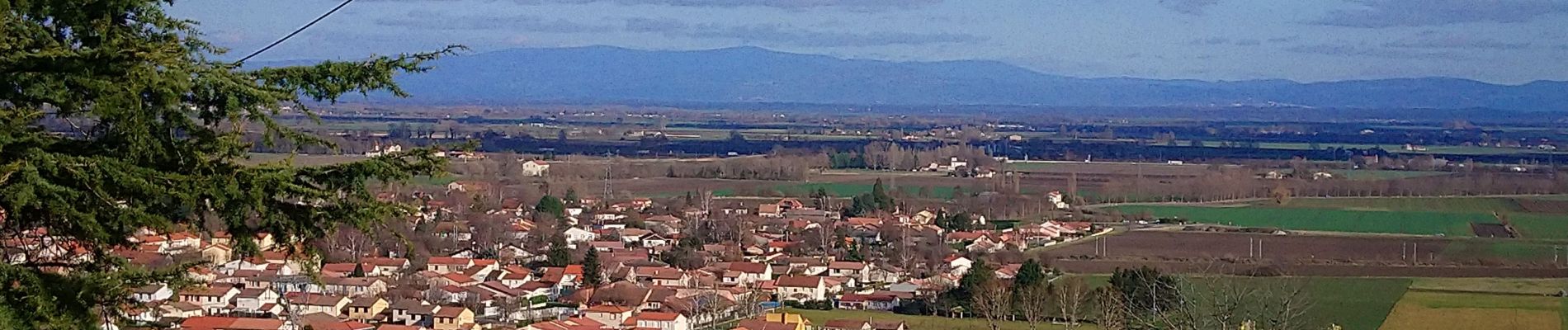
Trail Walking of 7.4 km to be discovered at Auvergne-Rhône-Alpes, Puy-de-Dôme, Ménétrol. This trail is proposed by Gegetop.
Description
Boucle par les Vergnes.
Photos

Positioning
Country:
France
Region :
Auvergne-Rhône-Alpes
Department/Province :
Puy-de-Dôme
Municipality :
Ménétrol
Location:
Unknown
Start:(Dec)
Start:(UTM)
508905 ; 5079377 (31T) N.
Comments