


RETORD Cuvery

Jean-Paulchoux
User


Length
20 km

Max alt
1279 m

Uphill gradient
363 m
Km-Effort
25 km

Min alt
1175 m

Downhill gradient
362 m
Boucle
Yes
Creation date :
2020-02-06 08:15:35.586
Updated on :
2020-02-06 14:34:39.391
3h54
Difficulty : Medium

FREE GPS app for hiking
 SityTrail
IGN / Geographical institutes
SityTrail Plus
The world is yours!
About
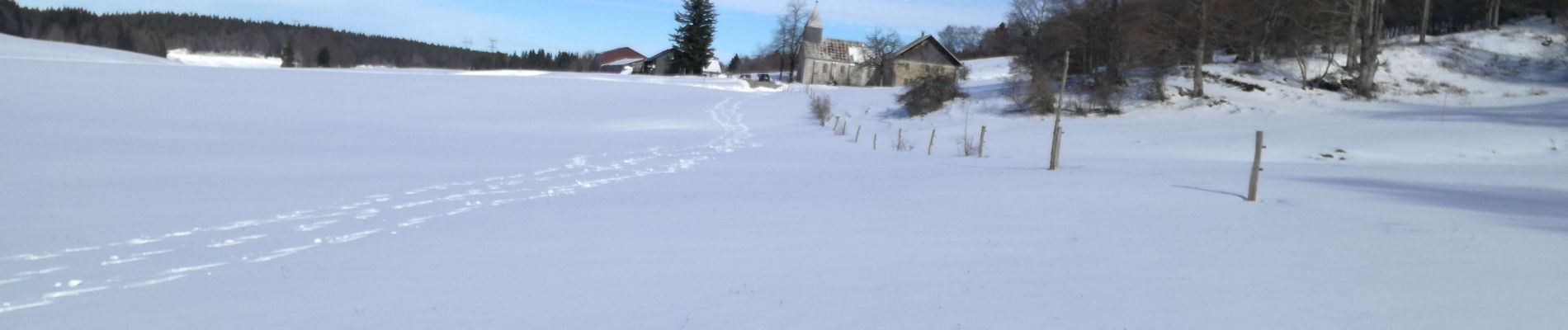
Trail Cross-country skiing of 20 km to be discovered at Auvergne-Rhône-Alpes, Ain, Valserhône. This trail is proposed by Jean-Paulchoux.
Description
Ski de randonnée nordique
Photos

Positioning
Country:
France
Region :
Auvergne-Rhône-Alpes
Department/Province :
Ain
Municipality :
Valserhône
Location:
Châtillon-en-Michaille
Start:(Dec)
Start:(UTM)
710855 ; 5110252 (31T) N.
Comments