


le lac Fichboedlé

gdela
User
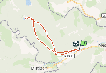

Length
7.4 km

Max alt
815 m

Uphill gradient
345 m
Km-Effort
12 km

Min alt
491 m

Downhill gradient
345 m
Boucle
Yes
Creation date :
2020-02-06 13:45:58.908
Updated on :
2020-02-08 16:23:01.857
2h49
Difficulty : Medium

FREE GPS app for hiking
 SityTrail
IGN / Geographical institutes
SityTrail Plus
The world is yours!
About
Trail Walking of 7.4 km to be discovered at Grand Est, Haut-Rhin, Metzeral. This trail is proposed by gdela.
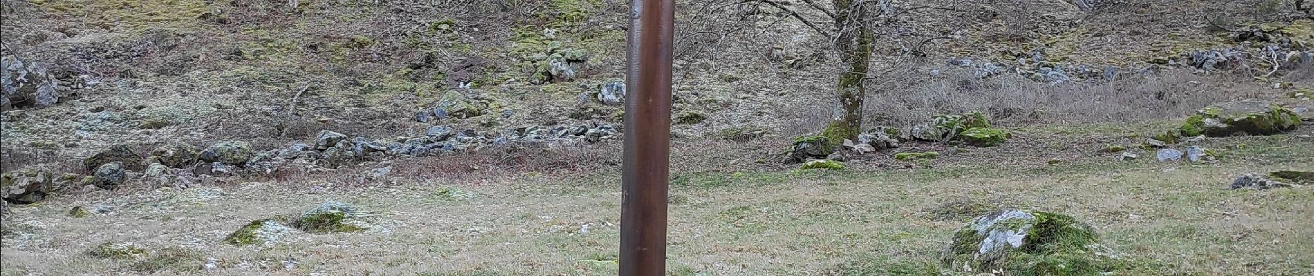
Photos


Positioning
Country:
France
Region :
Grand Est
Department/Province :
Haut-Rhin
Municipality :
Metzeral
Location:
Unknown
Start:(Dec)
Start:(UTM)
354948 ; 5319339 (32U) N.
Comments